The Confluence
A large-scale, flood-risk reducing sediment trap
About the Work
Ambition and innovative collaboration have made the Confluence possible. Supported by Developer Contribution Funding, this project addressed the issue of diffuse and sediment pollution at the Gilwiskaw Brook and Mease confluence.
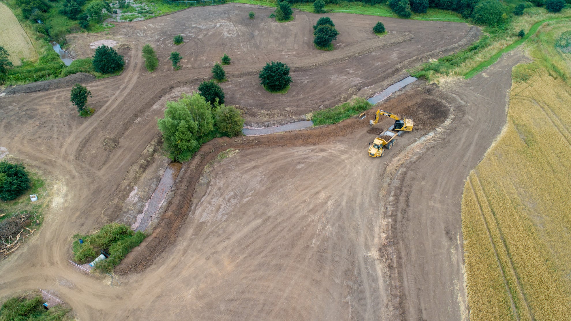
Formerly, a frequently-flooded piece of land, Trent Rivers Trust worked with the local farmer on converting a former arable field turned scrubland into a wetland area.
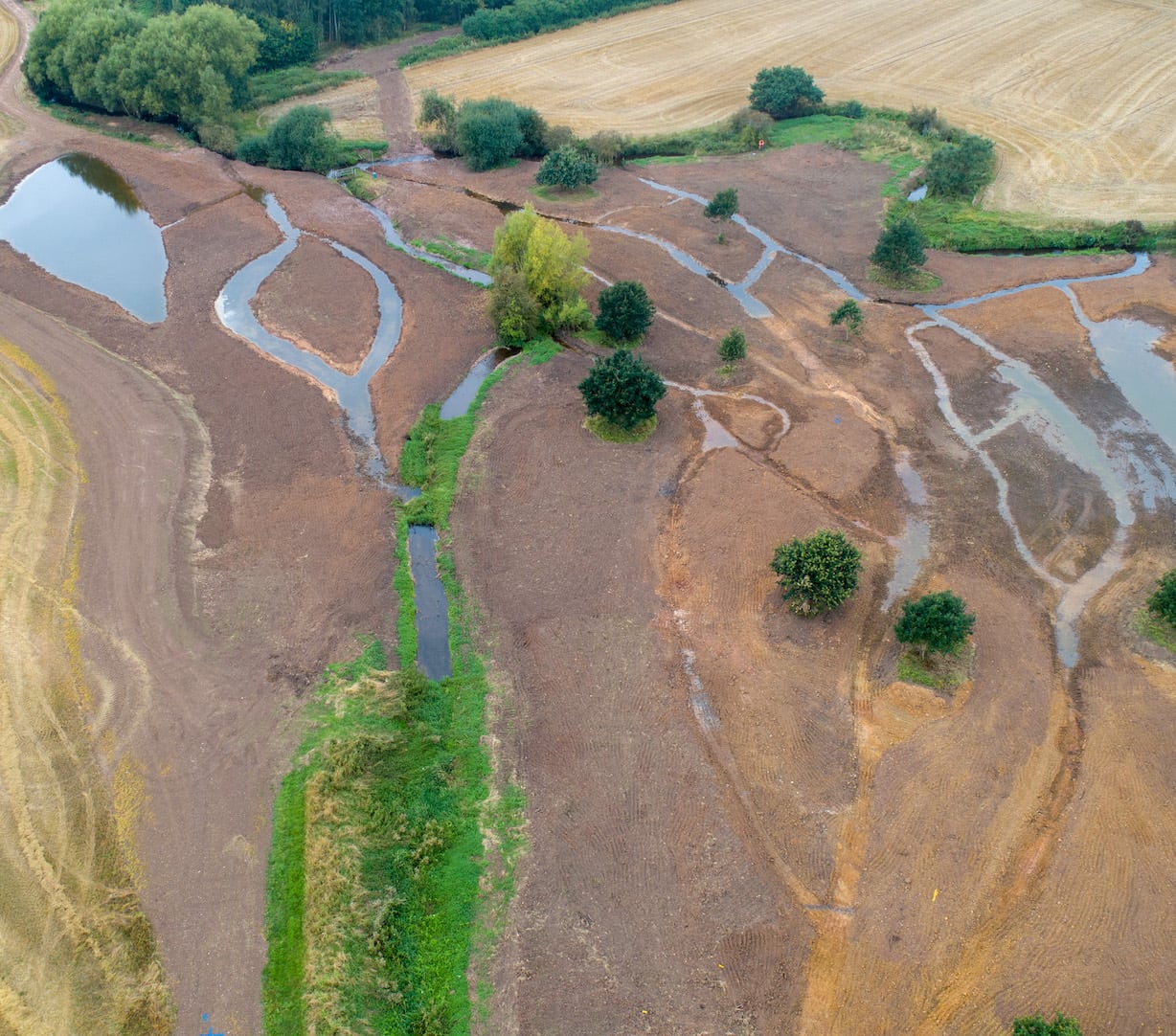
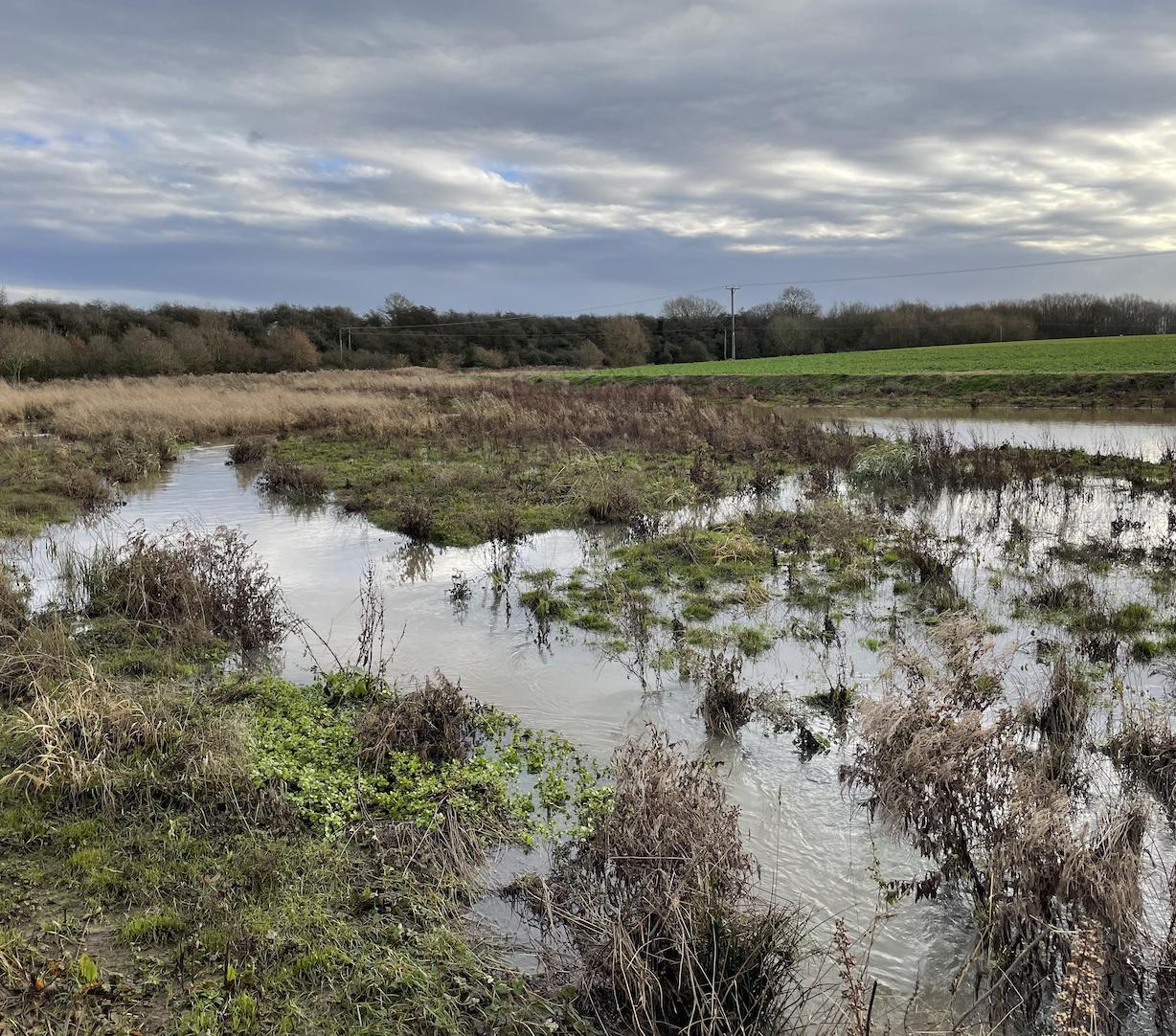
As well as lowering the land level, a series of new channels have been created across the site. This encourages water into the floodplain and allows the sediment from the river to settle out. The site will establish with native plants to absorb the phosphates. Already the site is supporting fish and invertebrates.
Over time, the site will develop a range of river and wetland habitats, of value to fish, birds, plants and invertebrates. A monitoring programme is underway to monitor the amount of phosphate captured by the scheme.
The site is subject to extensive monitoring which will tell us more about the effectiveness of the scheme and help inform future projects.

With thanks to
Forterra, Elford Demolition and Remediation, Landscape Science Ecology and Benchmark Archaeology.


