Retrofitting SuDS
An integrated approach to dealing with surface water, benefiting the environment, people and wildlife
About the Work
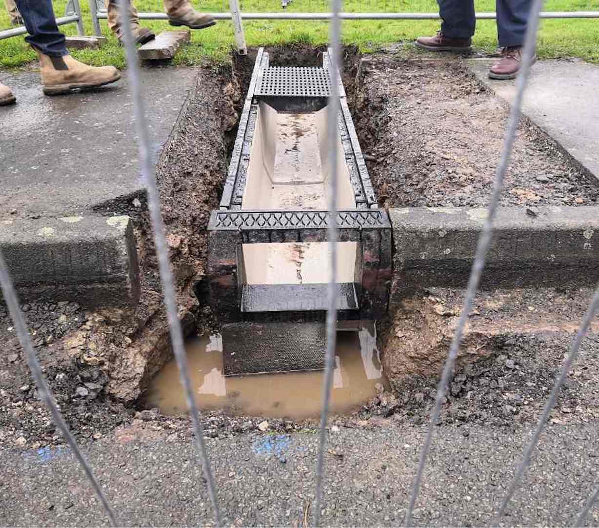
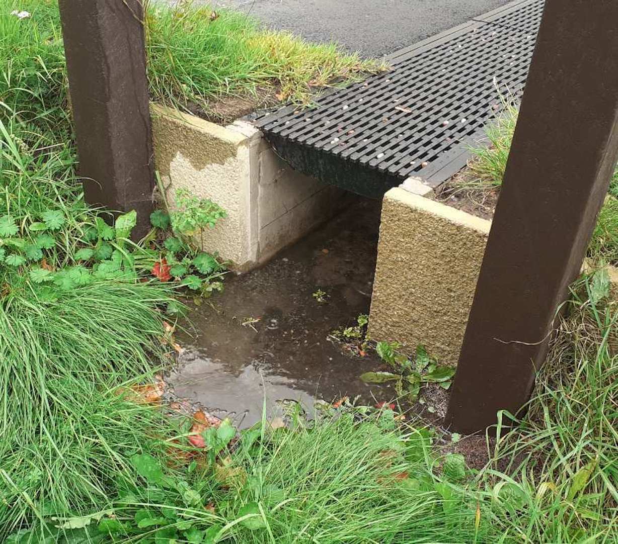
Previously, all the surface water from Wigeon Drive flowed directly into the River Mease. As surface water from roads traditionally flows through gully pots, into pipes, then discharges into the local river through some sort of engineered structure. With no natural filter in place, toxins enter the watercourse directly.
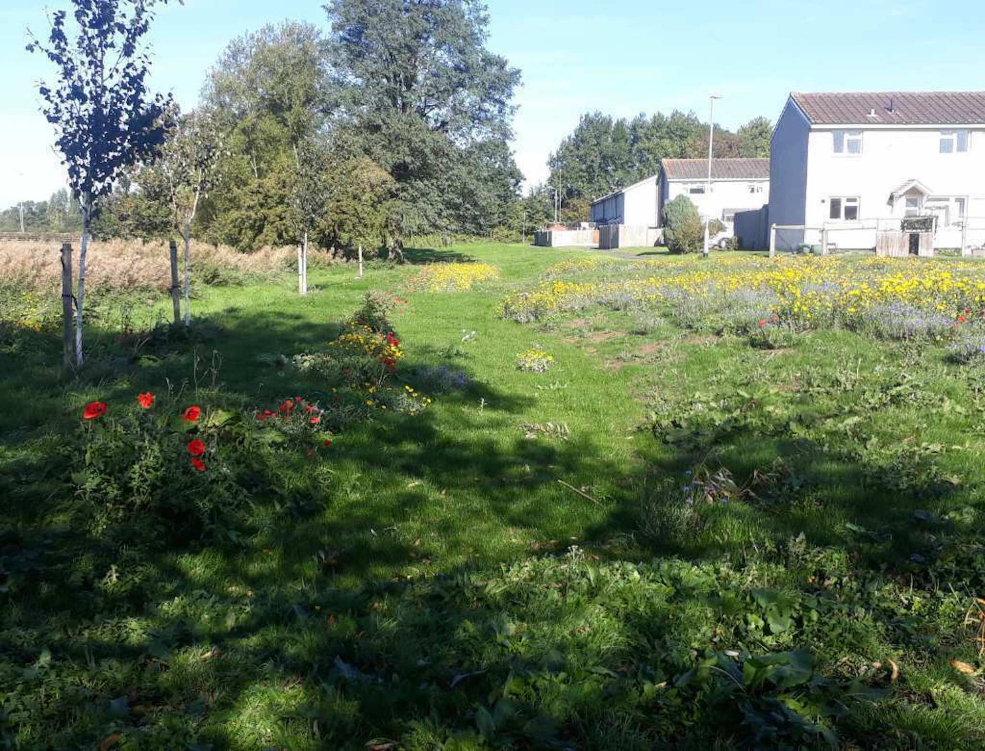
By putting a filter in the form of nature-based interventions in place, the water is slowed and filtered before it enters the Mease. Flood risk decreases and the reduction in harmful chemicals and overload in nutrient and sediments helps meet SSSI and SAC favourable condition, as well as, the Water Framework Directive target of a ‘good’ ecological status.
As a public space on a housing estate, our thinking went beyond ecological benefits. Safety was paramount. Hence, the basins were designed to hold a maximum depth of 100mm of water whilst still functioning for storage.
Swales
Swales are linear, shallow, vegetated drainage features that convey and store surface water and provide the opportunity for infiltration and water treatment by encouraging settlement. They can be built in combination with bund detention areas, or on their own to channel and redirect water flow that happens after heavy rain.
Attenuation basins
Attenuation basins store excess rain and storm water allowing nutrients and rainwater to settle out nutrients before they soak into the ground.


