Projects
A variety of projects have been delivered in the Mease under a variety of funding sources.
River Restoration
Since 2019 Trent Rivers Trust have been delivering river restoration projects funded by the Environment Agency in a multi-partner project involving Natural England, Catchment Sensitive Farming and the NFU.
In the first three year phase of the project, 8 river restoration schemes were delivered, varying in scale from 0.2ha of floodplain habitat improvements to 2km stretches of river restoration resulting in the following outcomes:
- 40 landowners agreed to river-friendly improvements on their land
- 7.65km of habitat restored
- 4.8ha of in-channel habitat improvements
- 13.12ha of wetlands, scrapes, and meadows
- 11ha of grassland under improved management.
- 40ha of Maize were under sown as part of a trial in 2020/21
- 500 trees planted
The second phase of the project is currently underway.
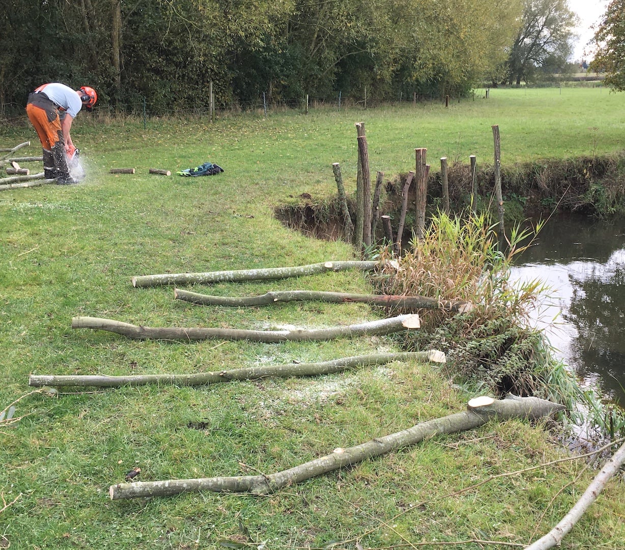
Birds Hill River Restoration
The Mease, like almost all rivers, has been heavily modified in the past at the detriment of habitat. By reprofiling the river and reconnecting it with its floodplain, a greater variety of habitats introduces a mosaic of habitat for a greater variety of species.
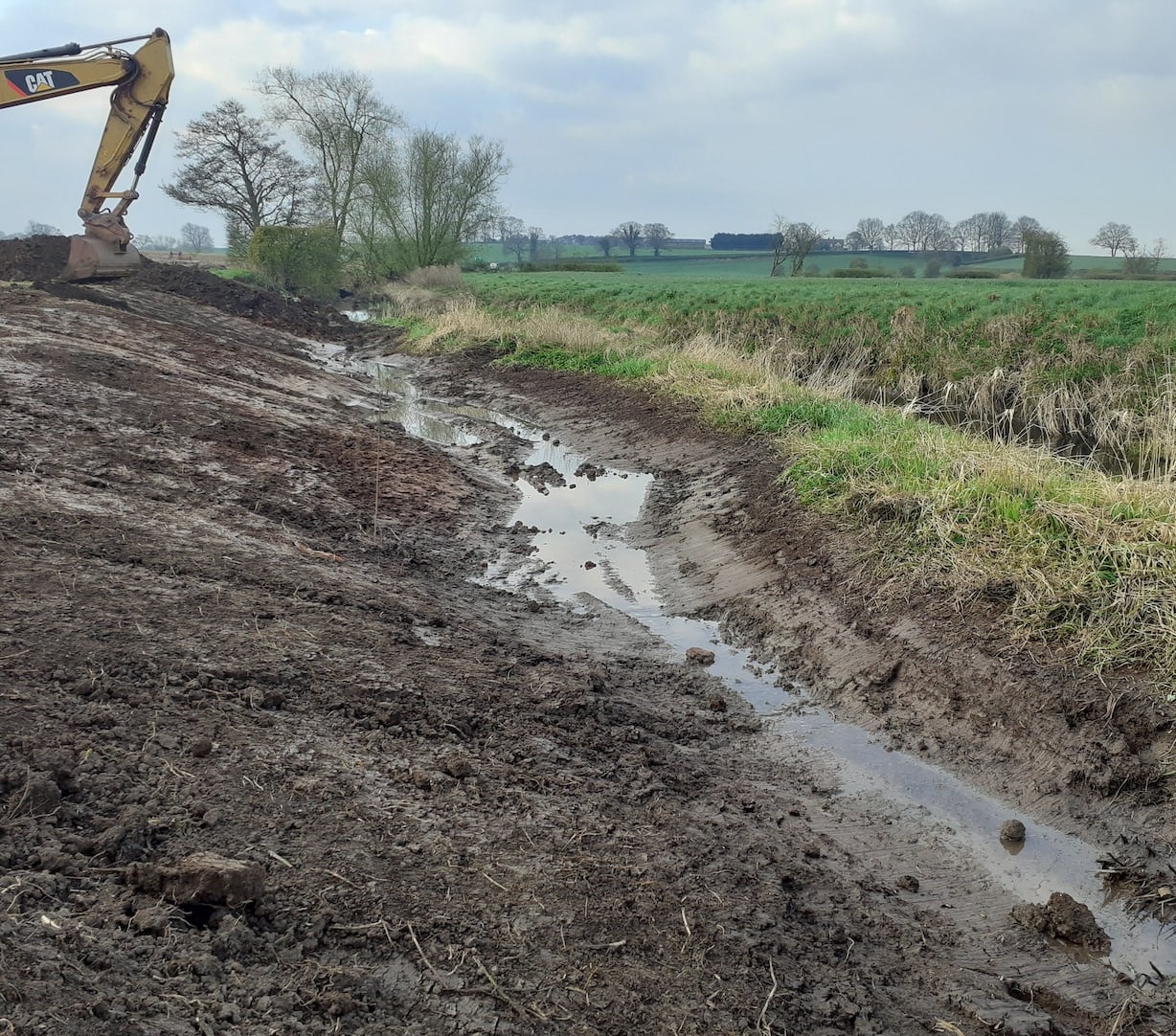
Edingale Gravel Introduction
This Environment Agency-funded project aims to create a more varied habitat, creating cool and slow flowing water in the woodland adjacent to the watercourse. These provide refuge, while gravel beds and reprofiled bends create variations in flow and depth.
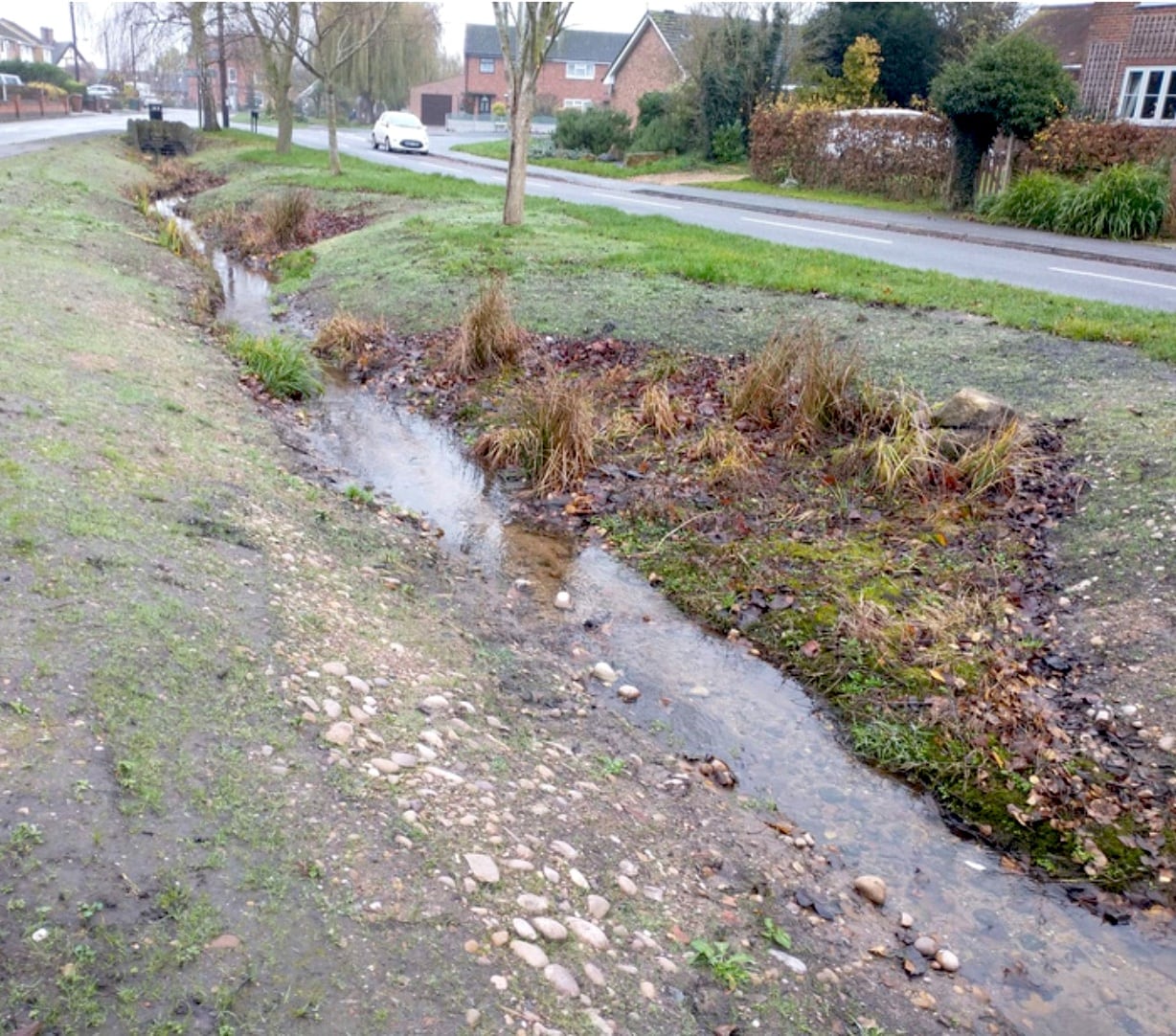
Coton-in-the-Elms
It’s safe to say that the Coton-in-the Elms Village Green is a source of pride and joy for many residents. So when it became apparent that the wooden bank protection needed updating, Trent Rivers Trust was approached with the hope to create a more natural upgrade.
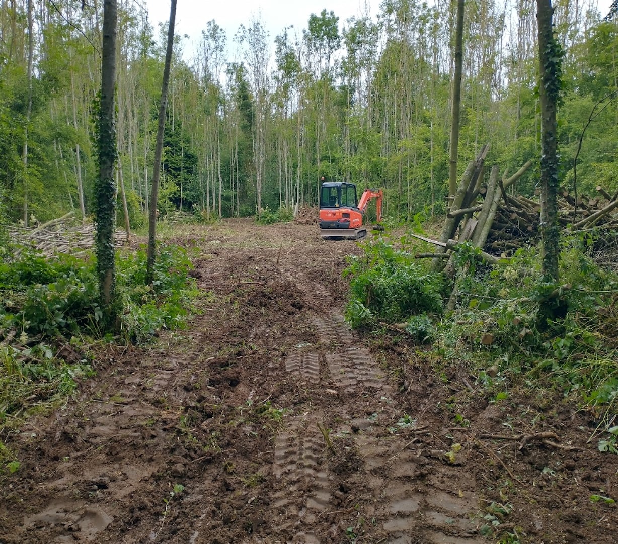
Harlaston Wet Woodland
Harlaston woodland, adjacent to the river Mease, consists of self-set ash trees and planted broadleaf. Working within the woodland we have created open areas to increase more diverse growth and habitat, alongside a wetter woodland.
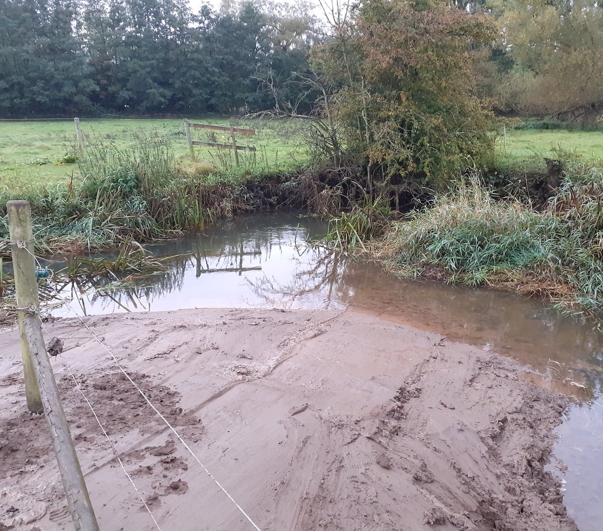
Stretton en le field
The Mease like many other rivers has lost its connection to the floodplain, steepened banks not only make access for wildlife difficult, it also changes flow conditions in the river. Re-profiling of banks added diversity to the flow which had been reduced due to deepening and straightening of the channel.
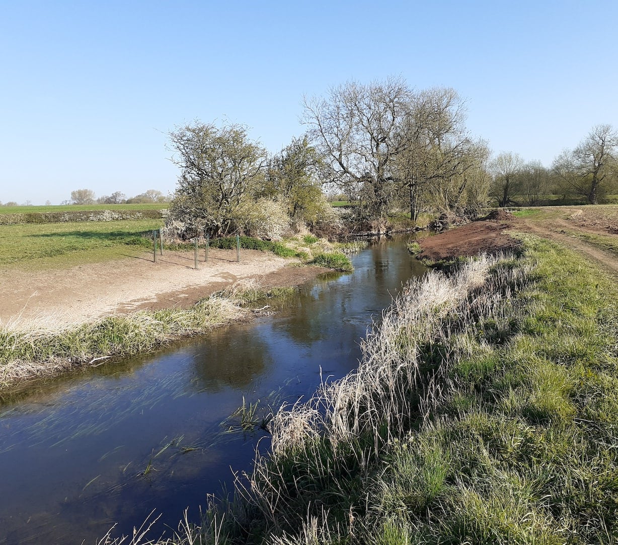
Edingale to Croxall
Trent Rivers Trust have been restoring sections of the River Mease at Edingale and Croxall. These works began on the 2 x 1km stretches of river in September 2020 and were just over halfway completed before being paused for the wet winter weather. They were completed in Spring 2021.
Nutrient Reduction
Several projects have been delivered using funds from the Developer Contribution Strategy. These have been designed for maximum sediment and phosphate trapping potential
in order to reduce phosphates entering the Mease, to mitigate phosphate additions through development.
A monitoring programme on a representative selection of schemes is being delivered to inform how well the schemes are operating and how much phosphate is being trapped.
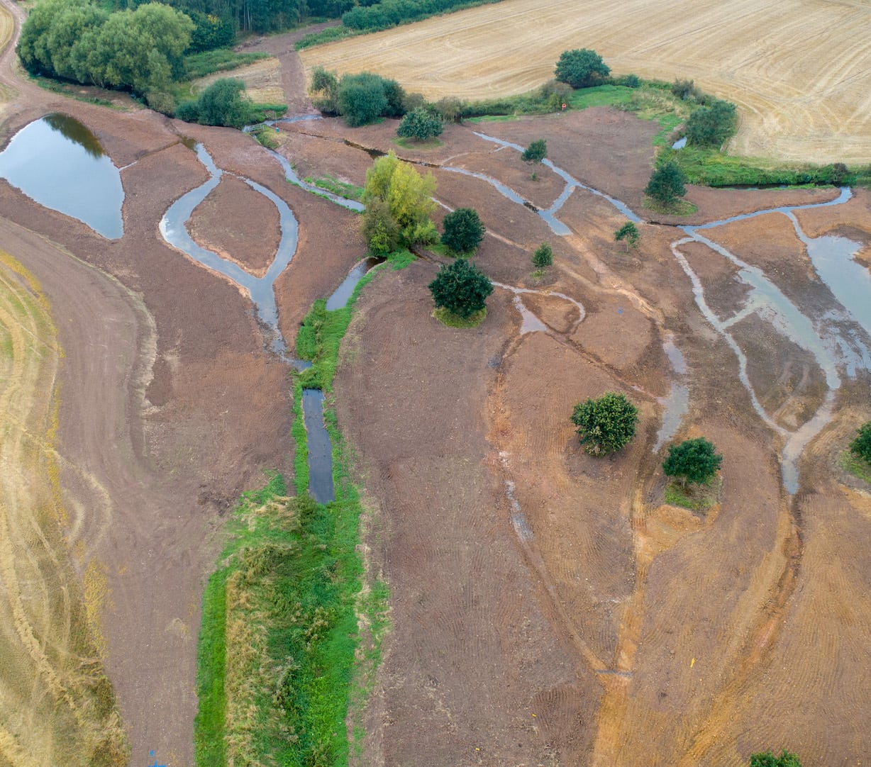
The Confluence
Ambition and innovative collaboration have made the Confluence possible. Supported by Developer Contribution Funding, this project addressed the issue of diffuse and sediment pollution at the Gilwiskaw Brook and Mease confluence.
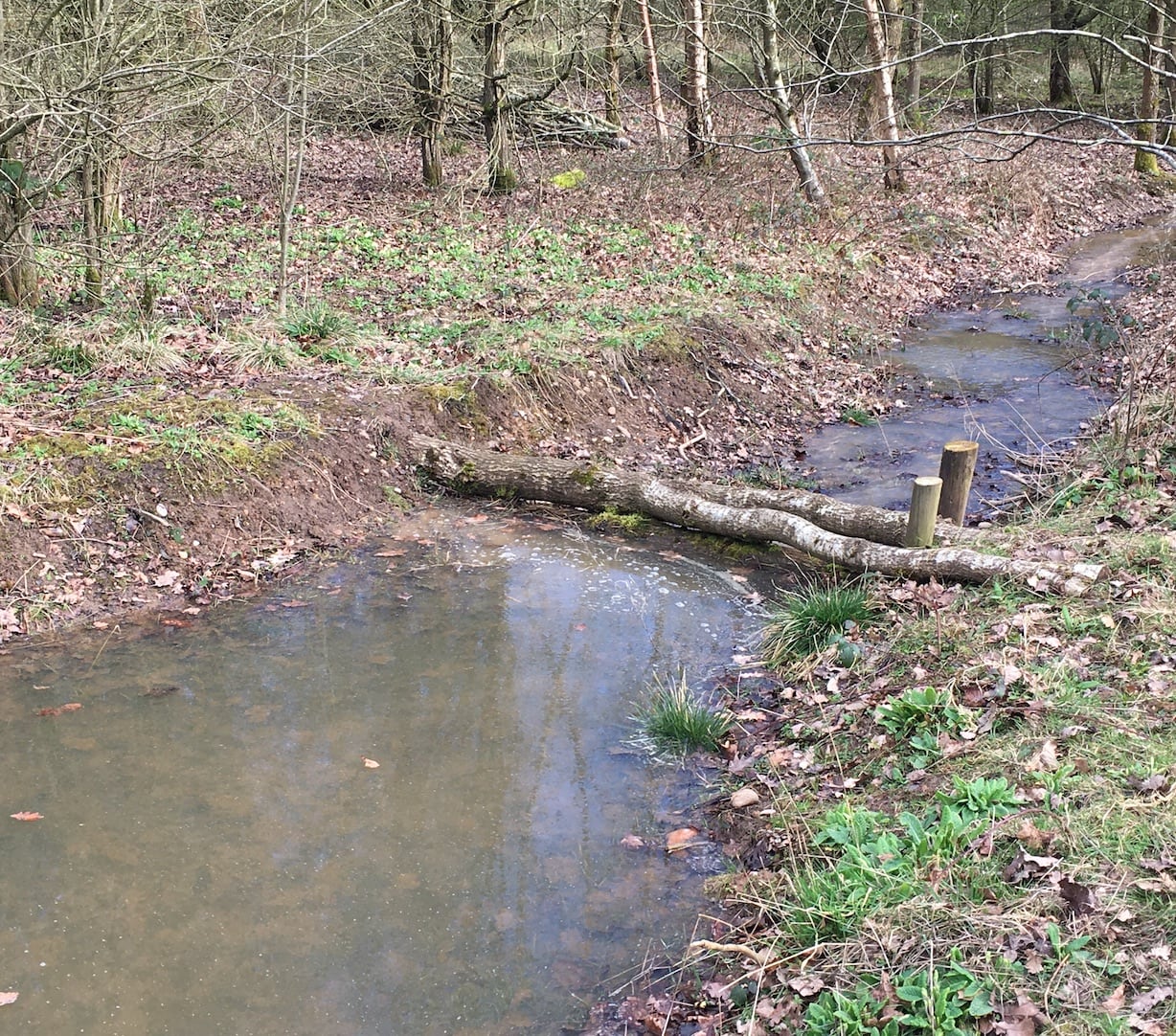
Grangewood Slow the Flow
The thinking behind this work is that by slowing the flow of the headwaters of the Seal Brook, a tributary of the Mease, nutrients and phosphate-carrying sediments will settle out in the woodland. To this end, a range of interventions have been introduced.
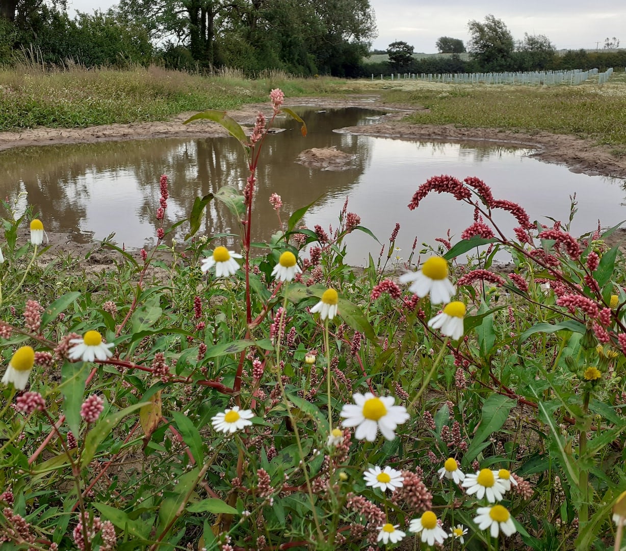
QE2 Woodland Extension
Early engagement with the Woodland Trust on development of their new site meant wetland scrapes could be placed to intercept flow paths down the sloping land, to tram sediments before they joined the watercourse, a tributary of the Mease, before the site was planted up with trees.
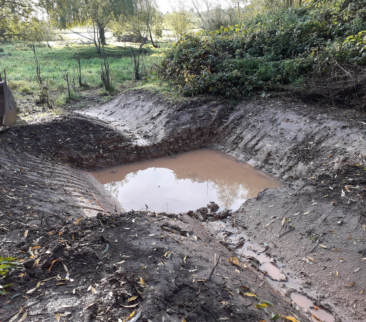
Stretton Rural SuDs
Areas of land that are heavily used by livestock, such as tracks, gateways, feeding and drinking areas, can be vulnerable to poaching and erosion, especially when it gets wet. This poached, loosened soil can easily be washed away in rain and end up in our rivers which pollutes the water with sediment and nutrients.
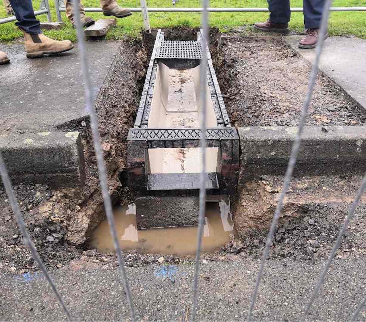
Measham retrofit SuDs
Previously, all the surface water from Wigeon Drive flowed directly into the River Mease. As surface water from roads traditionally flows through gully pots, into pipes, then discharges into the local river through some sort of engineered structure. With no natural filter in place, toxins enter the watercourse directly.
Mease Project Map
The Mease project map shows where project work is taking place across the catchment. The different colour coded categories show where projects have been delivered under the different funding mechanisms, and the different stages of project delivery, from identification of a potential project, to project development and construction being completed. The map shows how projects under the different funding mechanisms are widespread across the catchment for maximum impact and benefit.


